Surveying
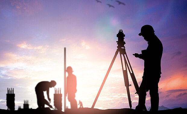
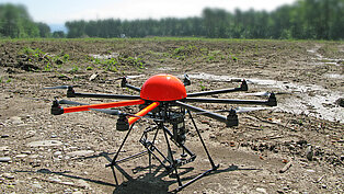
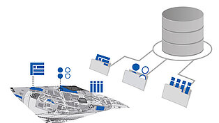
We use both terrestrial and photogrammetric methods to conduct surveys. On site we collect the geodata using mobile connections. Thanks to state-of-the-art equipment, we are able to combine procedures as needed and to conduct surveys quickly and reliably. We resolve special tasks in cooperation with highly competent, long-standing partners of many years.


