Digital Terrain Models
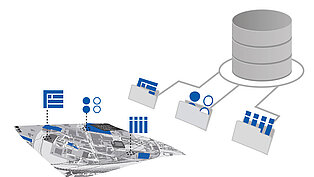
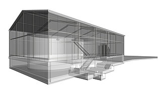
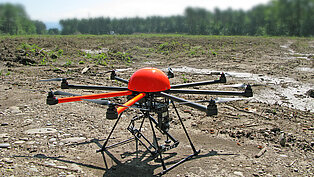
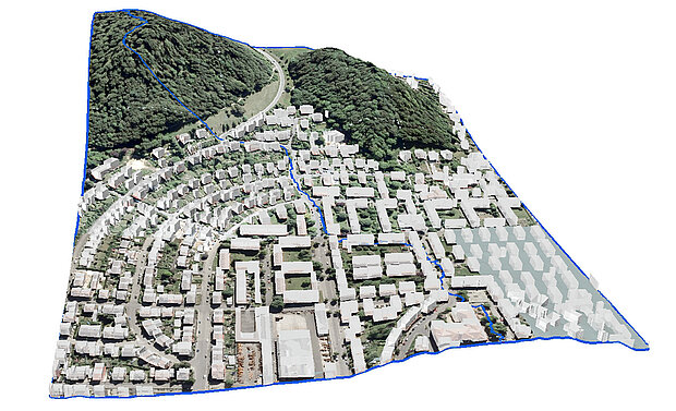
We create digital terrain models (DTMs). For this purpose, some of the tasks we perform include data acquisition (e.g. with aerial drone, laser scan), manual post-processing of DTMs (e.g. incorporation of built structures, ditch configurations, waterbodies), DTM analysis (e.g. catchment area calculation, flow paths, erosion hazard, visibility) and preparation for numerical modeling (hydrology, surface water, groundwater).


